The most significant challenge that arose at the start of the project was to recreate a landscape project as realistically as possible.
The process was divided into two main phases. The first was to faithfully recreate the project's location. The second was to recreate the intervention based on the information available at the time.
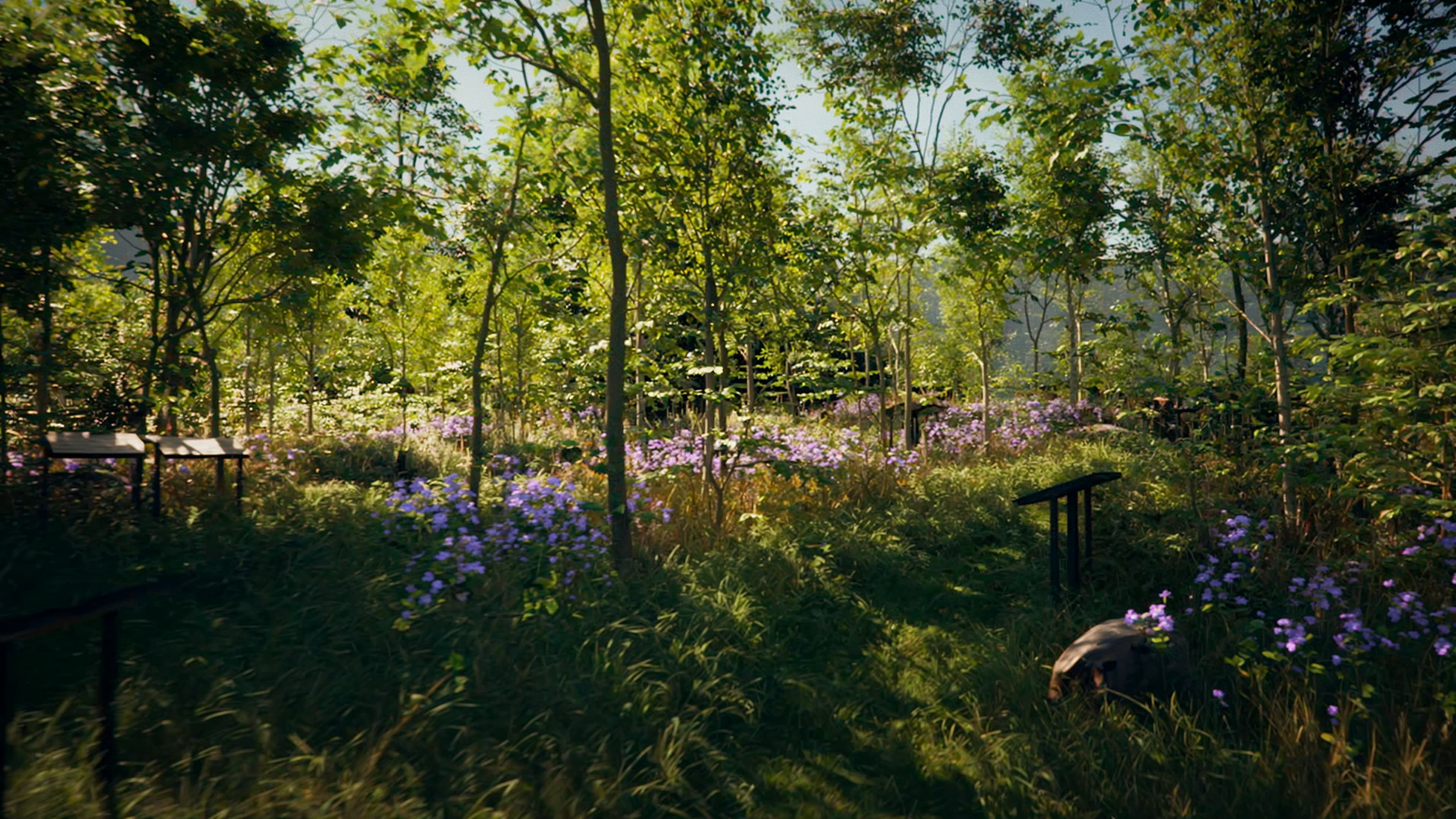
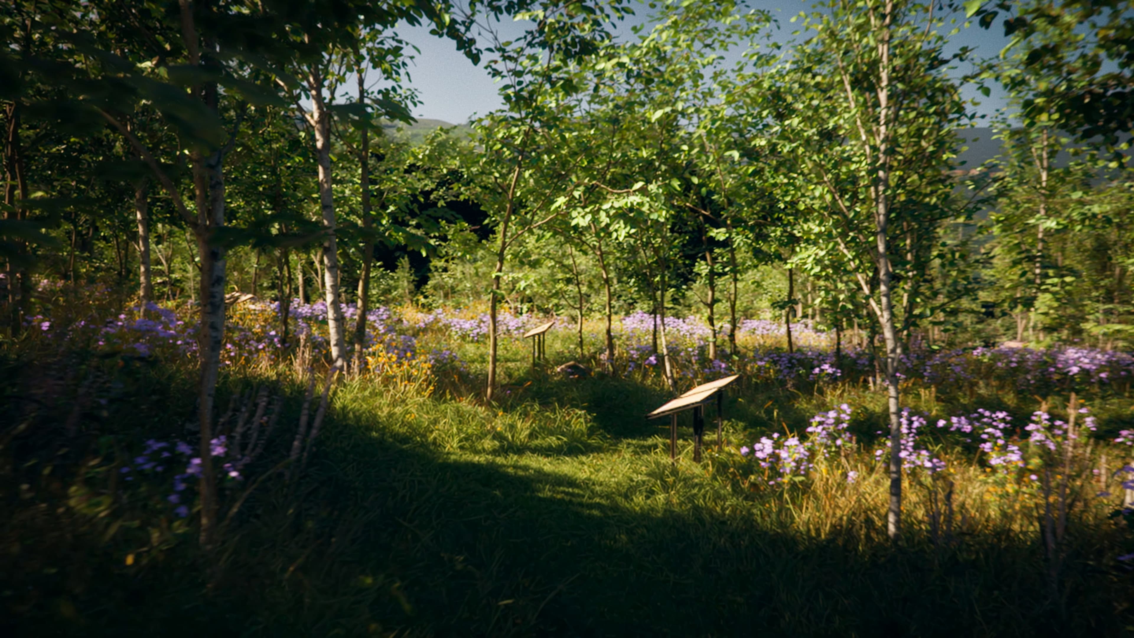
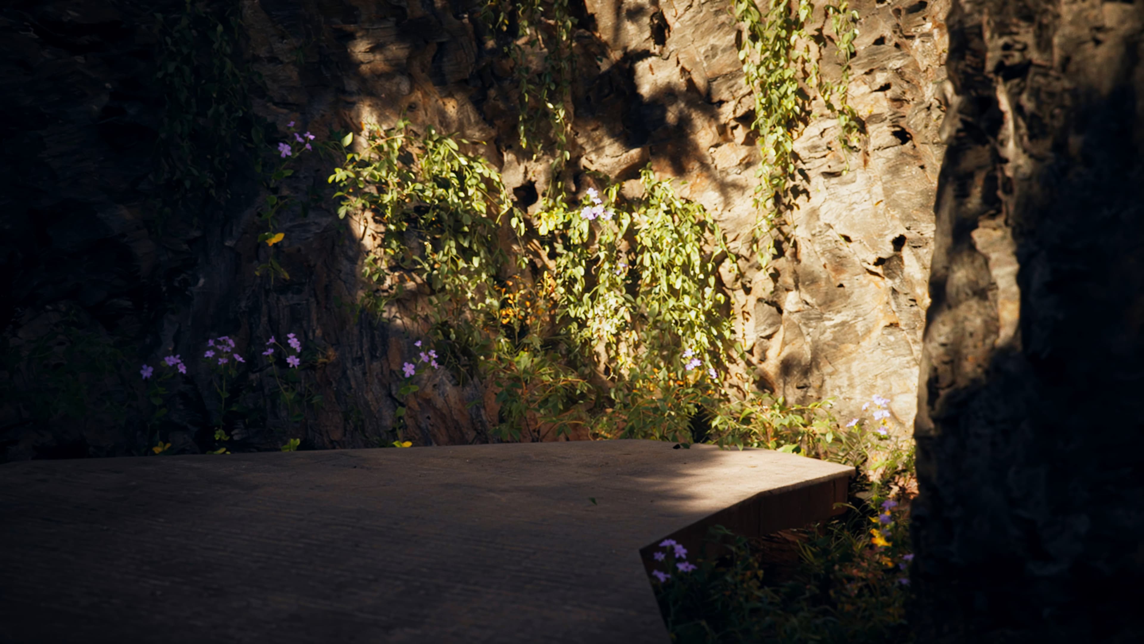
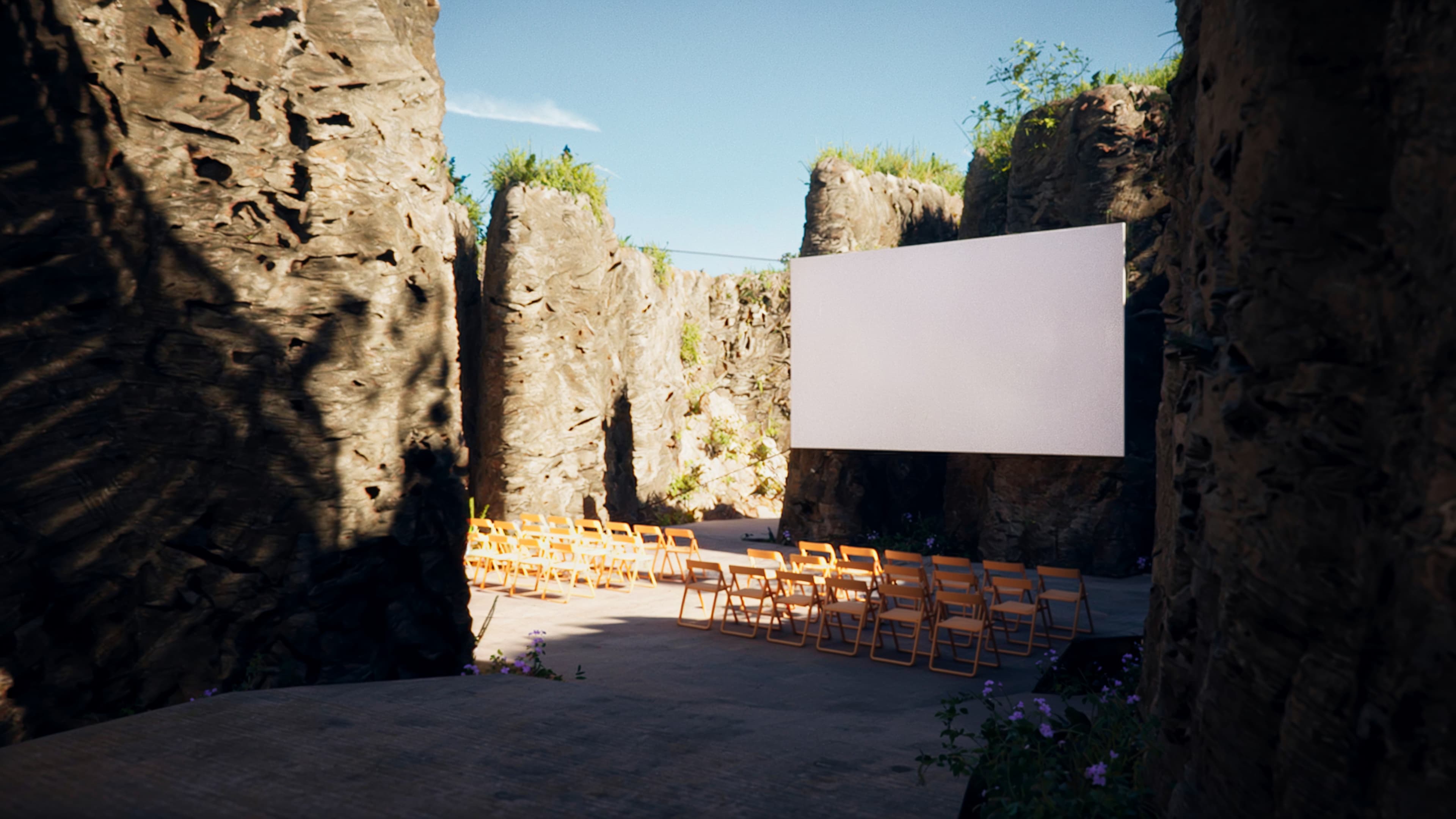
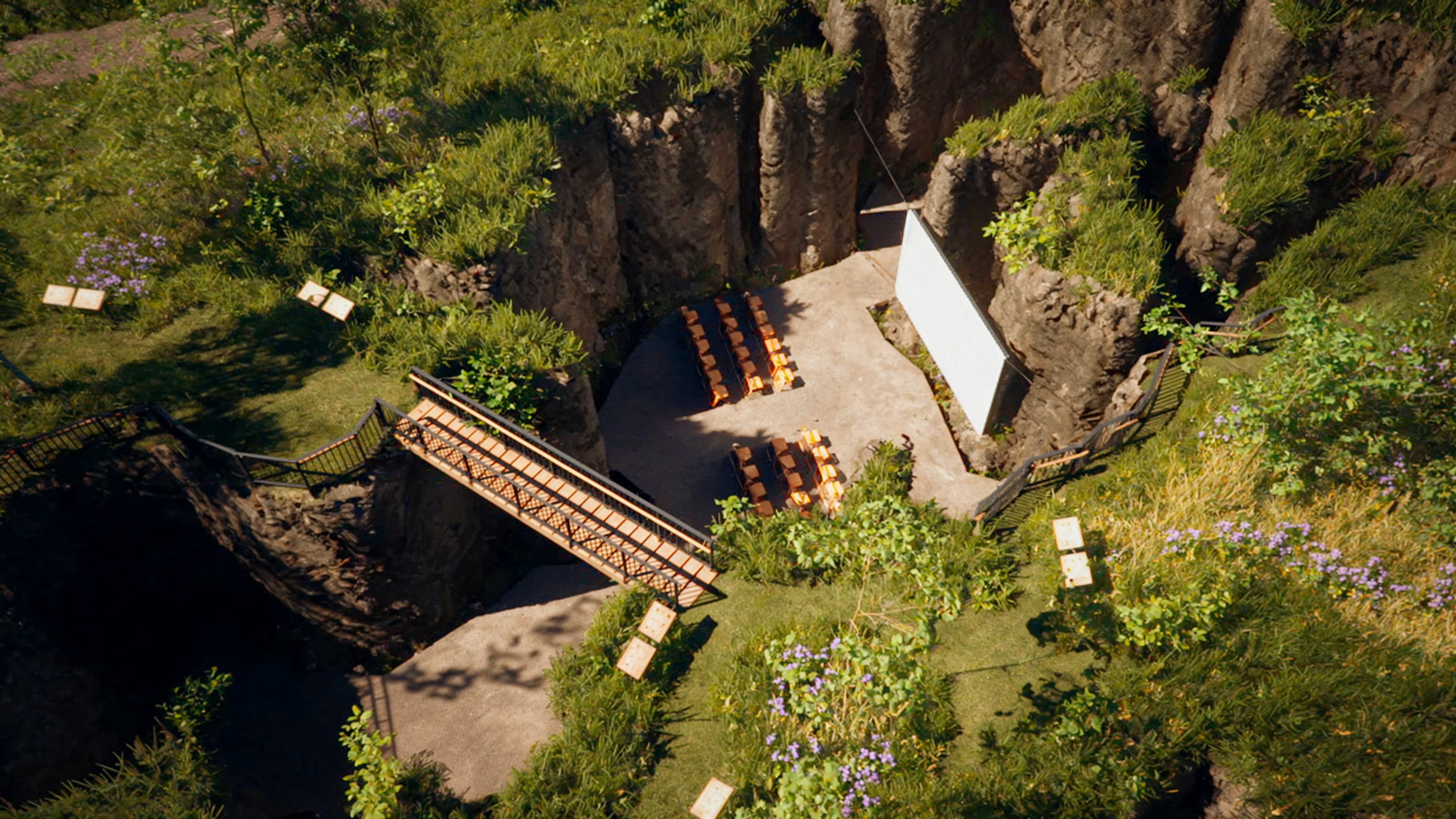
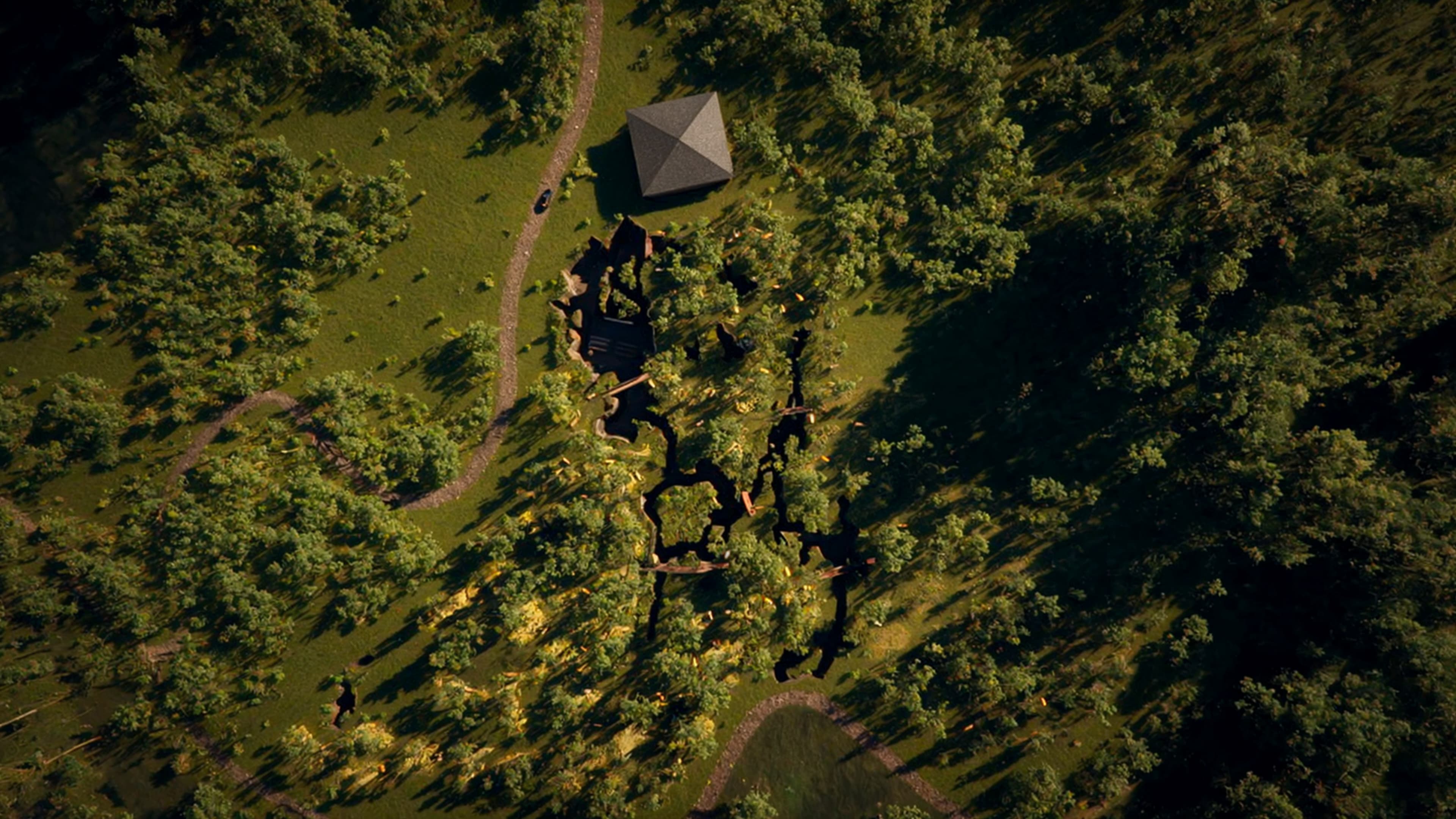
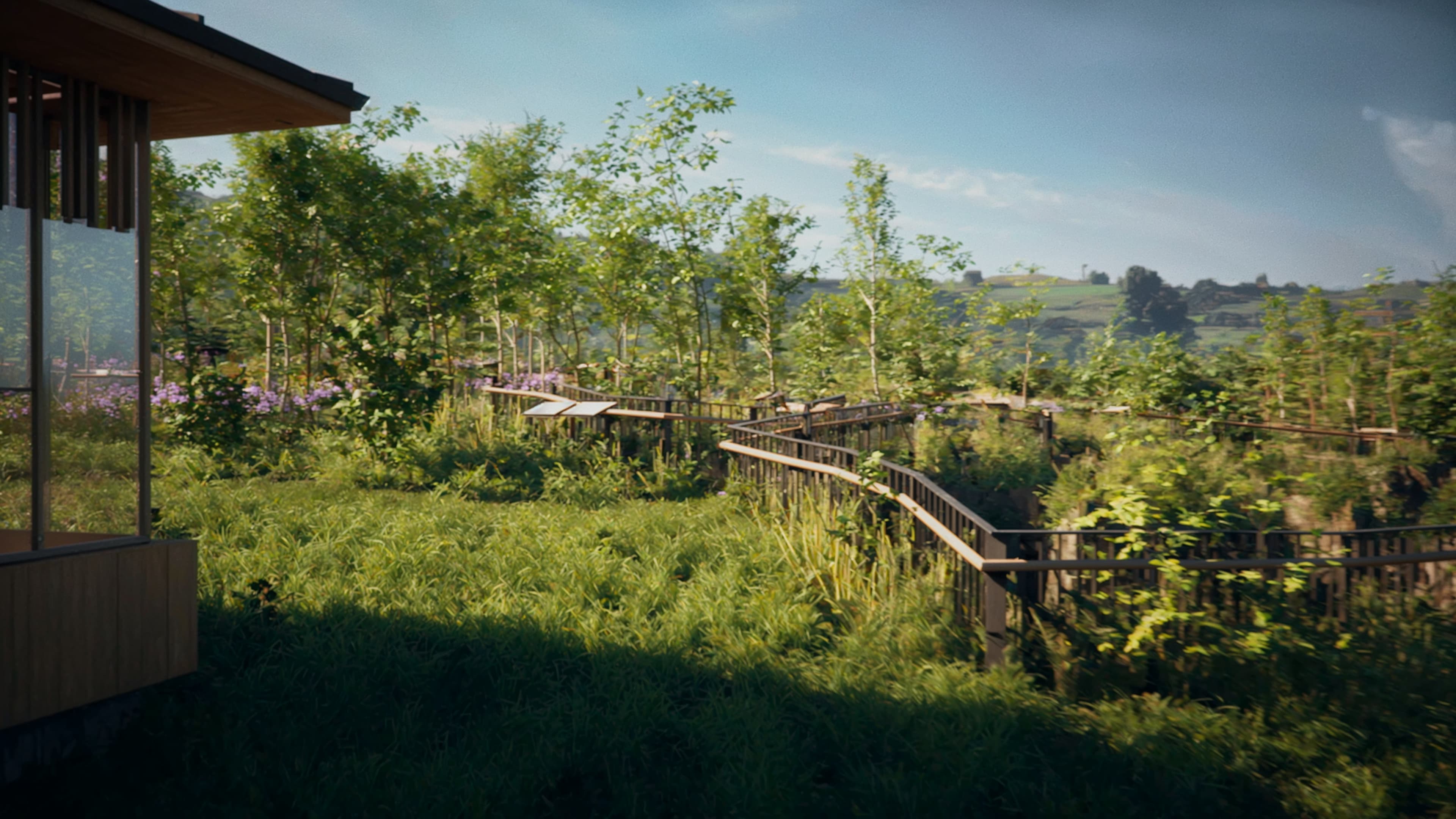
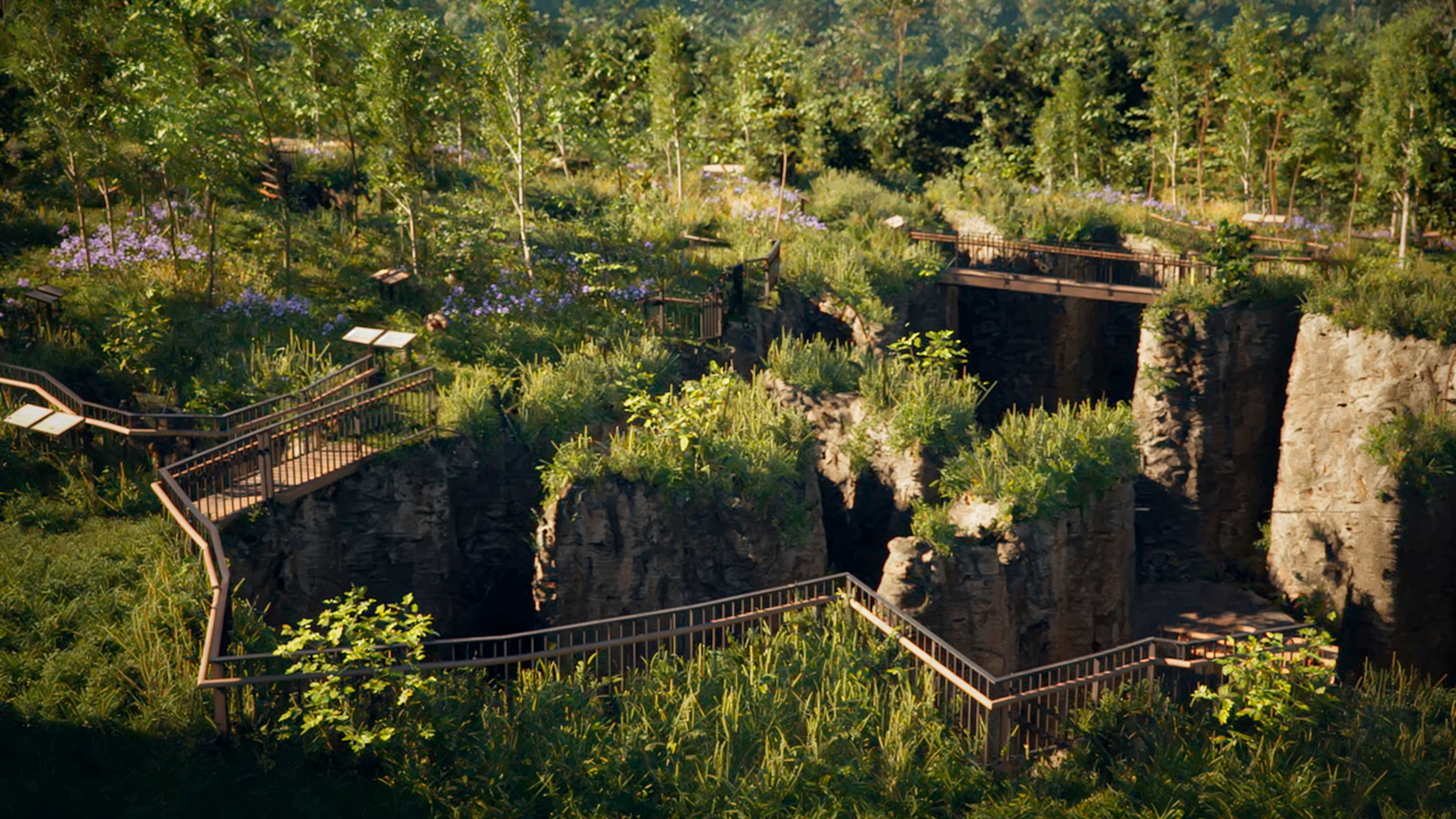
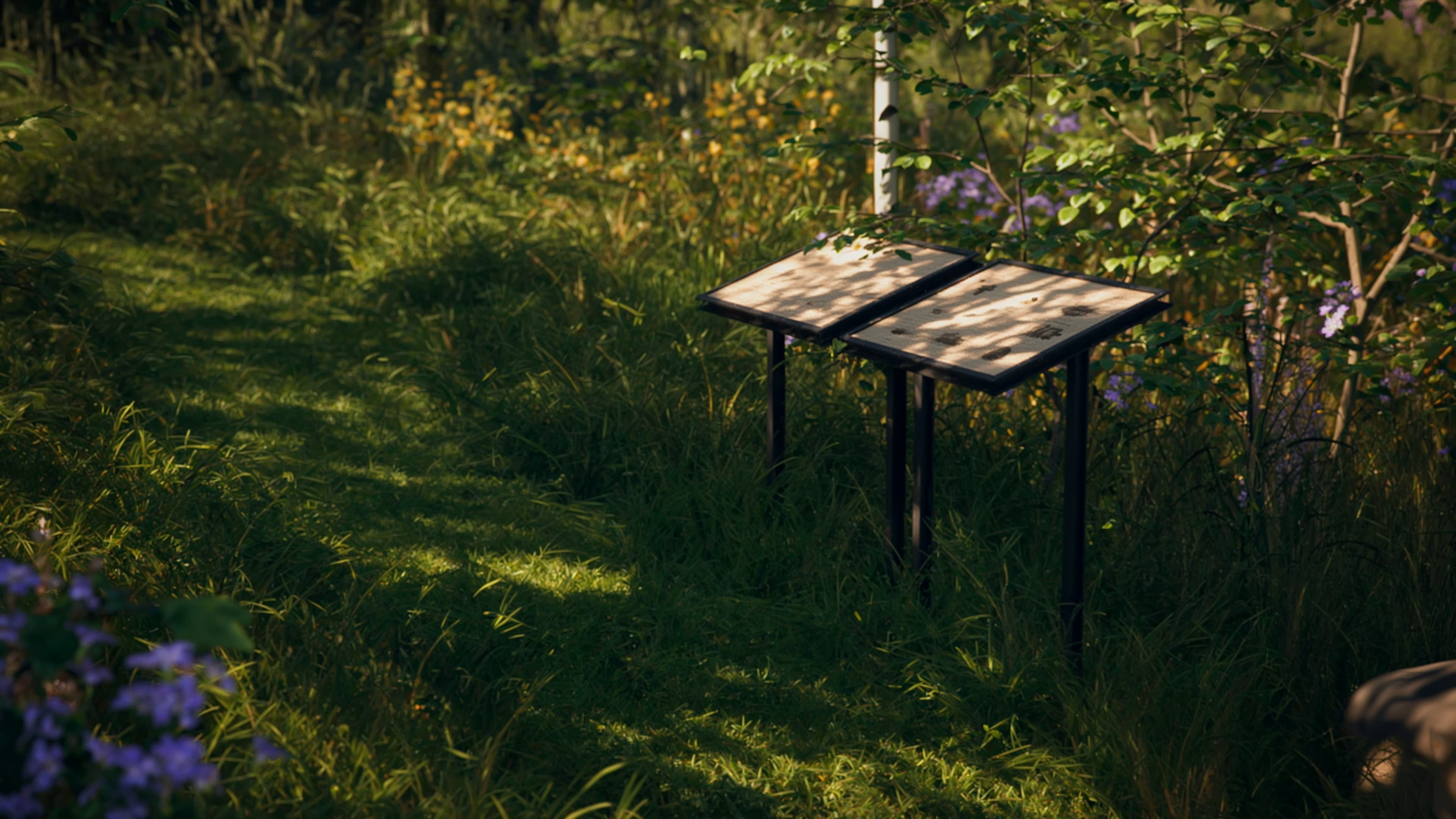
The first phase was not simple. The project is located on a plot near the town of Udías (Cantabria), characterized by the presence of old zinc mines. The distant environment was recreated using 360 captures. The mid-distance environment was recreated by 3D modeling the area's actual topography and texturing it with satellite imagery. And the immediate surroundings were recreated by manually sculpting and painting based on reference images.
The intervention phase was also challenging. The project was still in progress, and the trench areas of the old mines were not yet accessible, so we had to model them without real morphological data. The species catalog, however, was very explicit, and we had to adhere to it very precisely.
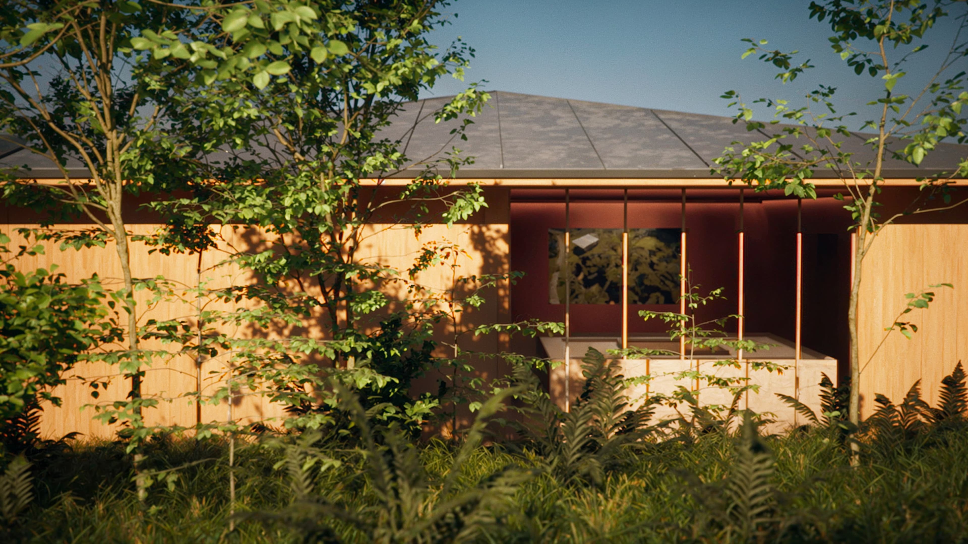
Once the forest was modeled, the blueprinting and rendering phase was very rewarding, and we thoroughly enjoyed it.